High-Resolution Aerial Thermography
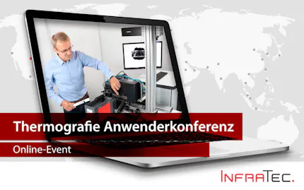
Erleben Sie, wie Infrarotkameras in Hubschraubern und Flugzeugen neue Perspektiven für thermografische Anwendungen eröffnen. In unserem Online-Event zeigen wir, wie sich große Flächen effizient aus der Luft analysieren lassen – ideal für Umweltbeobachtung, Infrastrukturkontrolle und mehr. Erfahren Sie, welche technischen Anforderungen erfüllt sein müssen, worauf es bei der Kamerawahl ankommt und welche Zubehörlösungen den Unterschied machen.

Aktuelle Termine
- High-Resolution Aerial Thermography (deutsch)Virtuell
Datum
14.04.2026, 10:00 MESZ – 12:00 MESZJetzt anmelden
Das infrarote Auge am Himmel – Luftbild-Thermografie mit InfraTec
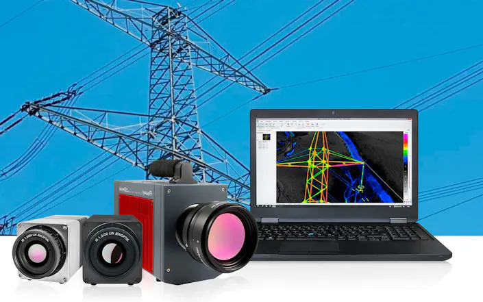
Durch den Einsatz eines mit einer Wärmebildkamera ausgestatteten Hubschraubers erhält die gimbalgestützte Luftthermografie durch Infrarot eine dritte Dimension. Aus großer Höhe kann eine Infrarotkamera einen großen thermografischen Überblick für eine Vielzahl von Anwendungen visualisieren. Je nach tatsächlichem Einsatzplan bieten natürlich auch Starrflügler weitere Optionen für diese Anwendungen.
Erfahren Sie mehr über die Luftbild-Thermografie in unserem Online-Event „High-Resolution Aerial Thermography“.
Ein Blick auf die Veranstaltung
Flugthermografie: Definition, Vorteile, Arten, Gegenwart und Zukunft
Anwendungen der Thermografie in der luftgestützten Fernerkundung
Herausforderungen der Flugthermografie
Technische Anforderungen an ein IR-Kamerasystem
Vergleich von gekühlten und ungekühlten Kamerasystemen
Wichtige und relevante Auswahlkriterien
Zubehör (Hardware und Software) zur Lösung der Messaufgabe
Fachvortrag aus der Thermografiepraxis
Wir freuen uns, einen Fachvortrag aus der Thermografiepraxis anzukündigen:
Informationen folgen in Kürze.


